How laser can be used in leveling and surveying?
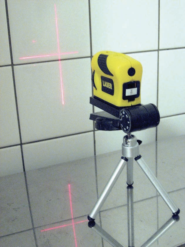
The laser is ideally suited for measuring surface heights for leveling and surveying purposes. The laser beam travels in a straight line and therefore can be used to place points accurately on a single plane. The laser level is very useful in construction applications as shown in Figure below where a laser level is being used to place tile accurately within the plane of a wall.
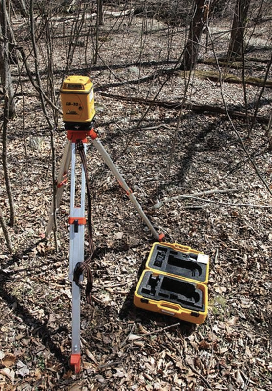
The same concept is useful for land surveying as well. Figure below shows a typical laser-surveying device. The typical laser-surveying device can be used to measure surface height as well as distances from a known or set geographical reference point.